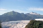
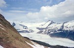
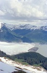
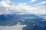
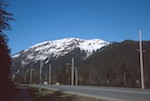
Juneau 1979
| ||||
|
|
| ||||
|
|
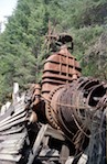
©Ralph Hill